
Solutions
DGPS Surveys
Centimetre-accurate differential GPS surveys across pan-India terrain for BharatNet Phase III and critical infrastructure.
Our Approach
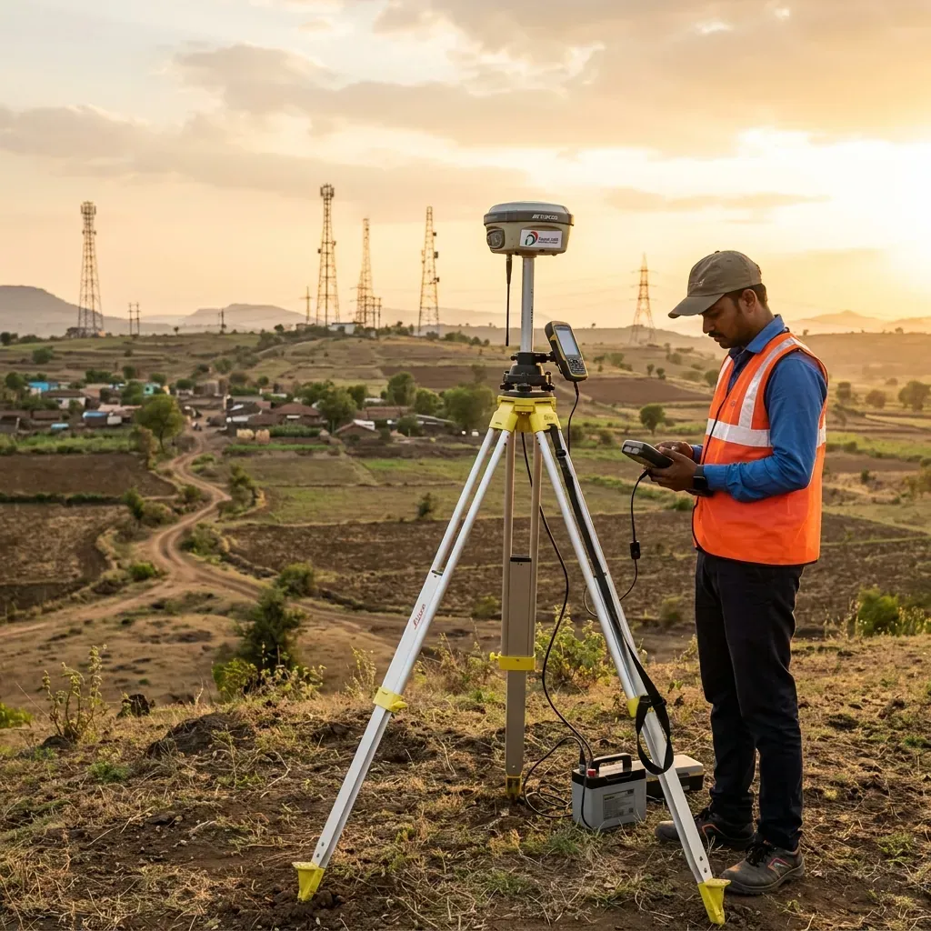
Differential Global Positioning System (DGPS) surveys are a critical foundation for accurate mapping, network planning, and implementation in large-scale telecom and infrastructure projects like BharatNet Phase III.
Our precision-driven approach ensures that network expansion is efficient, scalable, and future-ready, supporting the vision of “Digital India, connected at every village.” We deploy advanced DGPS equipment across diverse terrains — from mountainous regions to dense urban areas — to ensure centimetre-level accuracy in positioning data.
Key Capabilities
- Centimetre-level positional accuracy for telecom tower placement
- Large-scale survey operations across all Indian terrains
- Real-time data processing and GIS integration
- Compliance with DoT and BIS standards
- Support for BharatNet Phase III optical fibre cable routes
- Scalable survey teams deployable pan-India
Impact
Our DGPS survey operations have directly contributed to connecting thousands of gram panchayats across India, bringing high-speed broadband connectivity to rural communities and empowering the Digital India vision.